
What Remote Sensing Technicians DoApply remote sensing technologies to assist scientists in areas such as natural resources, urban planning, or homeland security. May prepare flight plans or sensor configurations for flight trips.
- Collect geospatial data, using technologies such as aerial photography, light and radio wave detection systems, digital satellites, or thermal energy systems.
- Verify integrity and accuracy of data contained in remote sensing image analysis systems.
- Integrate remotely sensed data with other geospatial data.
- Consult with remote sensing scientists, surveyors, cartographers, or engineers to determine project needs.
- Adjust remotely sensed images for optimum presentation by using software to select image displays, define image set categories, or choose processing routines.
Remote Sensing Technicians Education, Salary, and GrowthOnly you can decide how much you need to earn — but knowing what it actually costs to live in your area can help. The Family Budget Calculator can guide you.
Minimum EducationBachelor Degree
Career ProspectsGood (Increasing by 1-5%)
Training Time2 to 4 years
Job Openings10,600 Annually
Median Earnings
$75,780 in California
$60,130 Nationally
$0
$25K
$50K
$75K
$100K
$125K
$150K
$175K
$200K
$225K
$250K
Is This Career Right For You?
YOU Like
- Thinking and problem solving
- Using data or completing tasks
- Working with my hands
you value
- Accomplishing things
- Having support
- Job security
you are skilled in
- Speaking
- Reading Comprehension
- Active Listening
- Writing
- Social Perceptiveness
- Service Orientation
Go Deeper: Remote Sensing Technicians Explained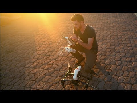
Remote Sensing TechnicianExplore career pathways, key skills, and what each role has to offer.
How Do You Train for This Career?
Learn about the education and training paths that can lead to this career — and what to expect from each one.

Bachelor's DegreeA bachelor's degree typically results in increased knowledge about a variety of academic subjects, specialized knowledge in a focused field of study, and is considered the foundational qualification for many careers.
🎓 College
⏱️ Finish in 4-5+ years

Hybrid CollegeA hybrid college combines online learning with the student support typically offered on college campuses, giving students flexibility and accessibility while still providing a comprehensive educational experience.
🎓 College
⏱️ Finish in 2-5 years
find training near you
Find local programs, apprenticeships, or degrees to start your path.
Enter your location to see training near you
